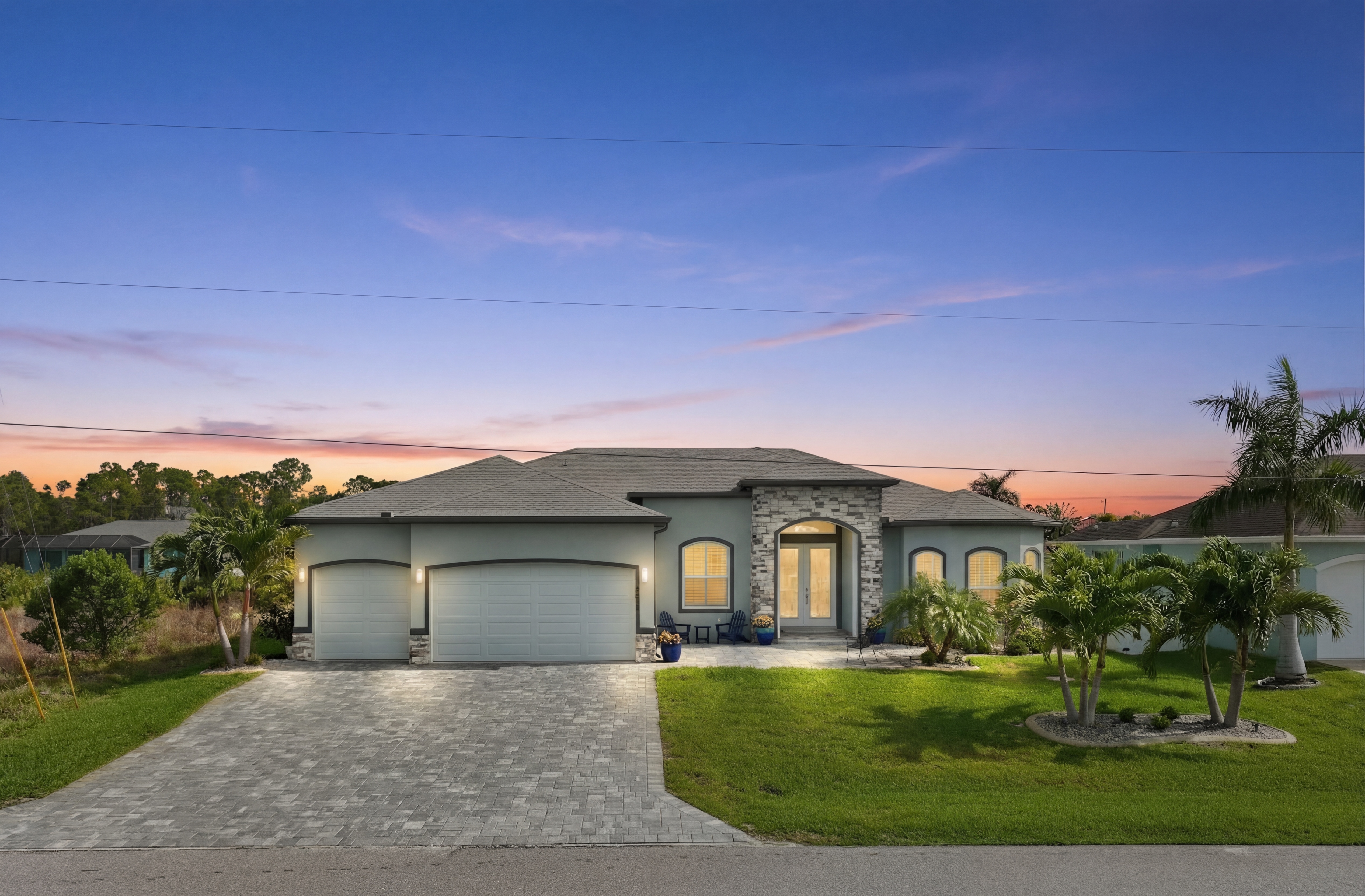
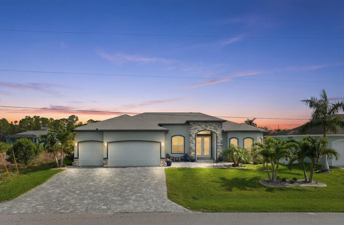
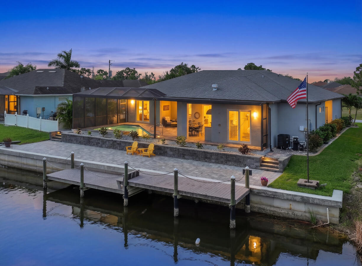
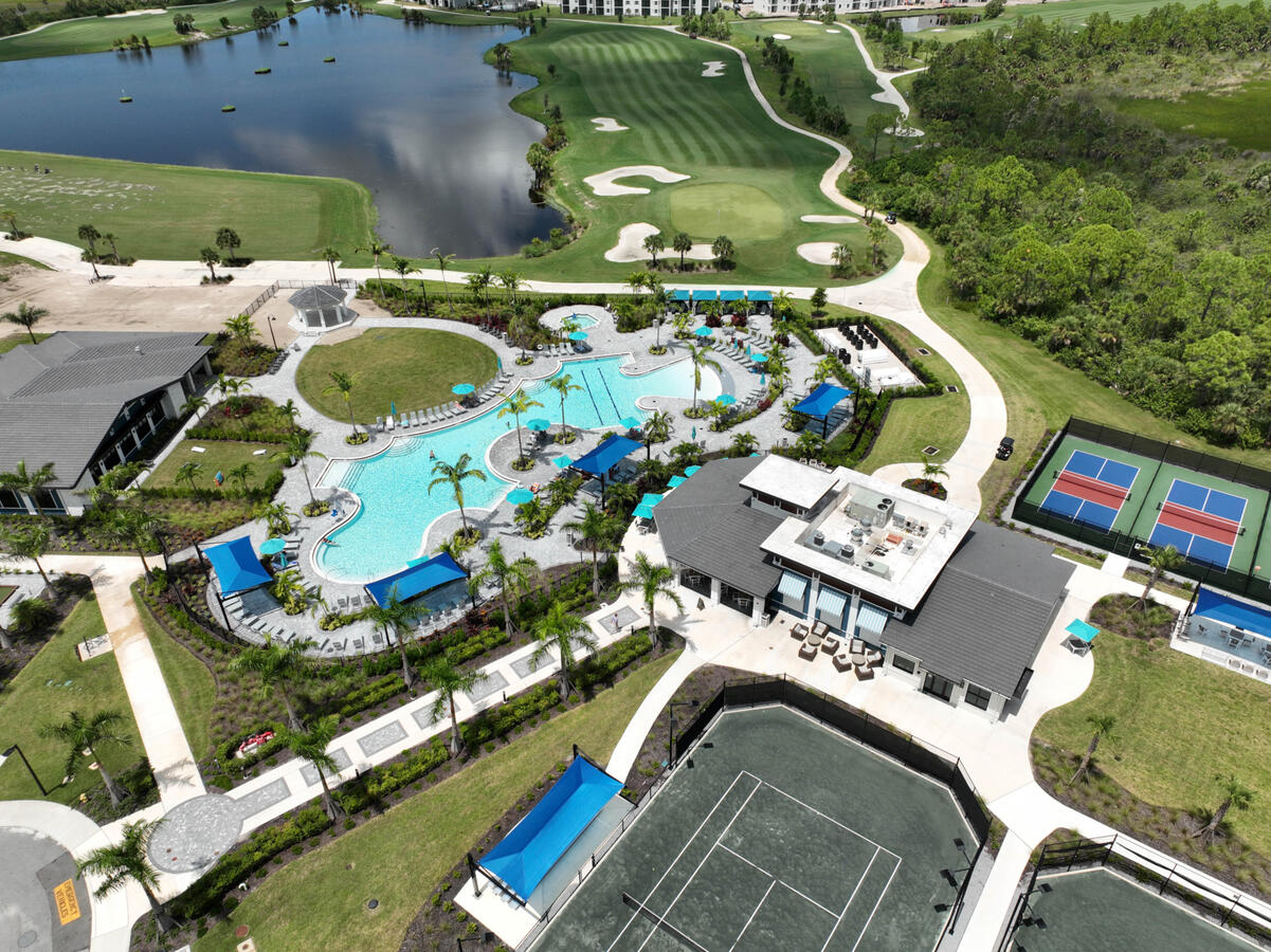
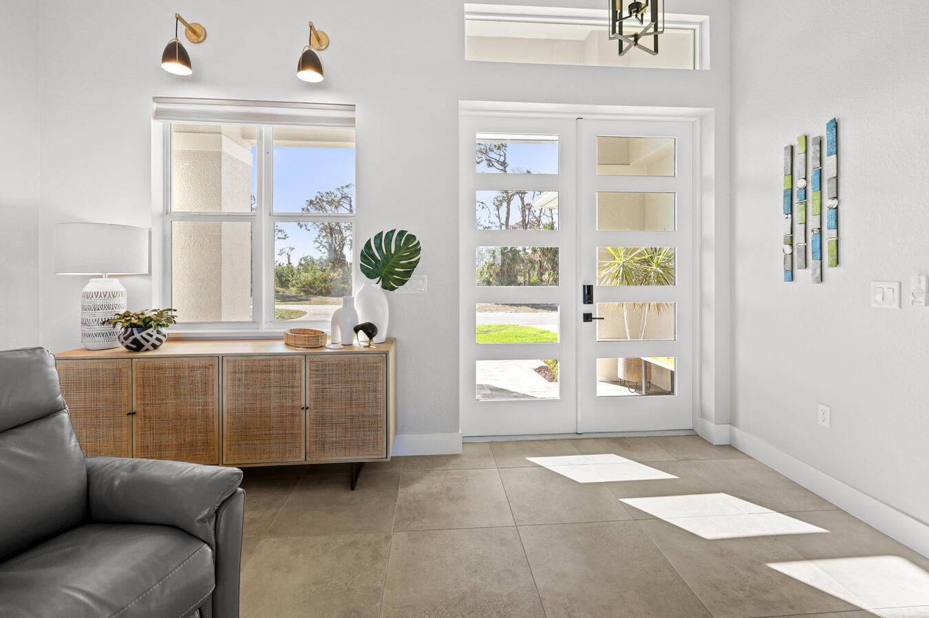
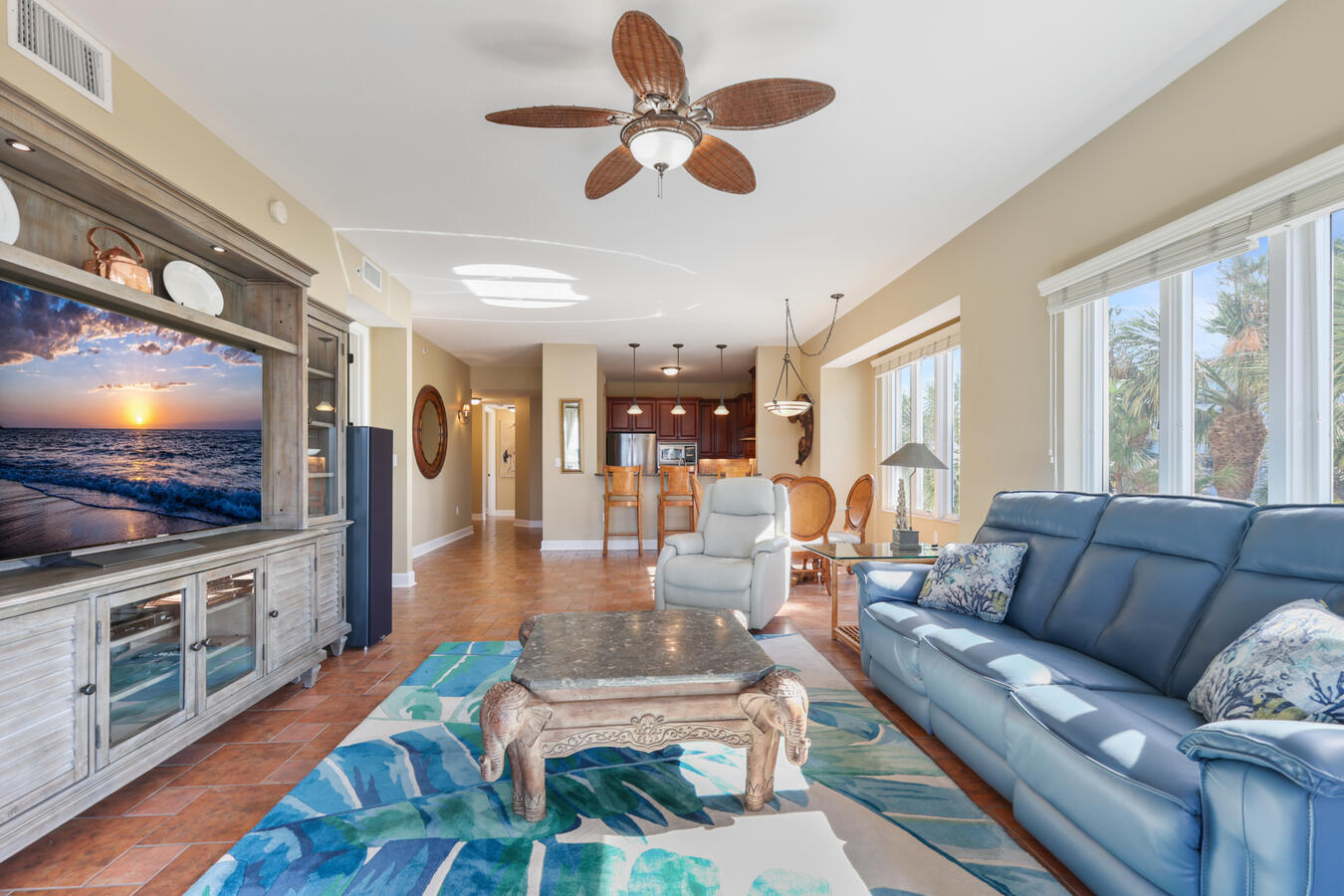
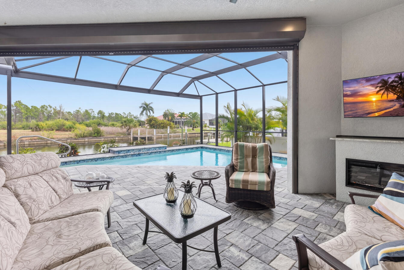
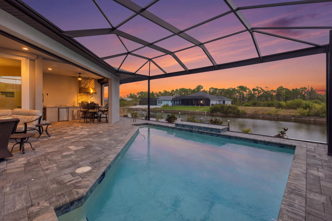
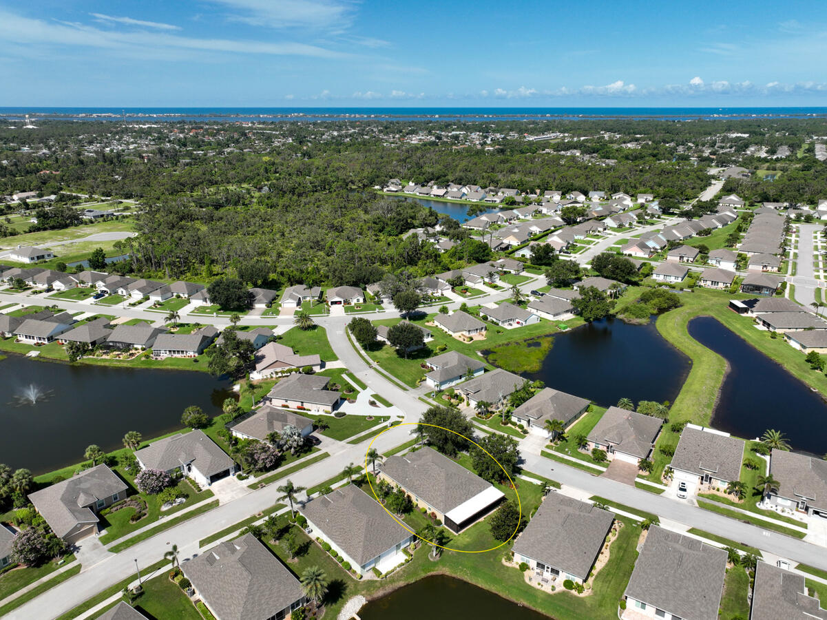
Twilight aerial real estate photography
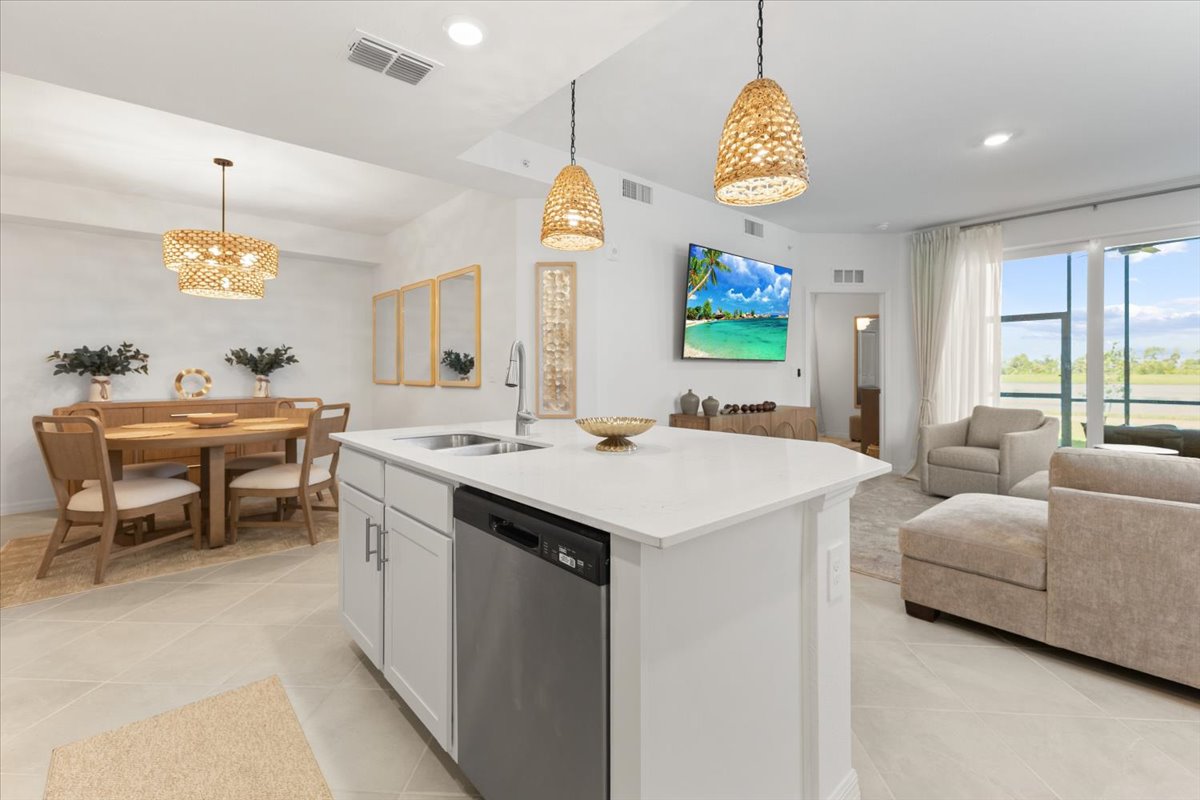
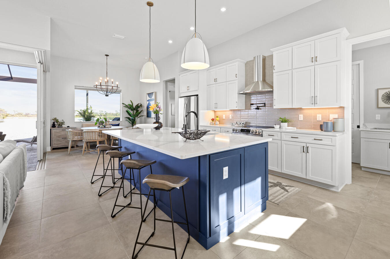
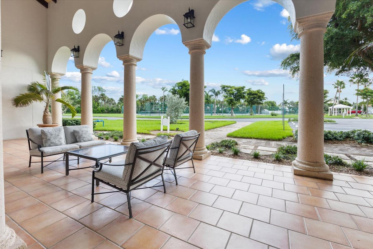
Professional interior real estate photography
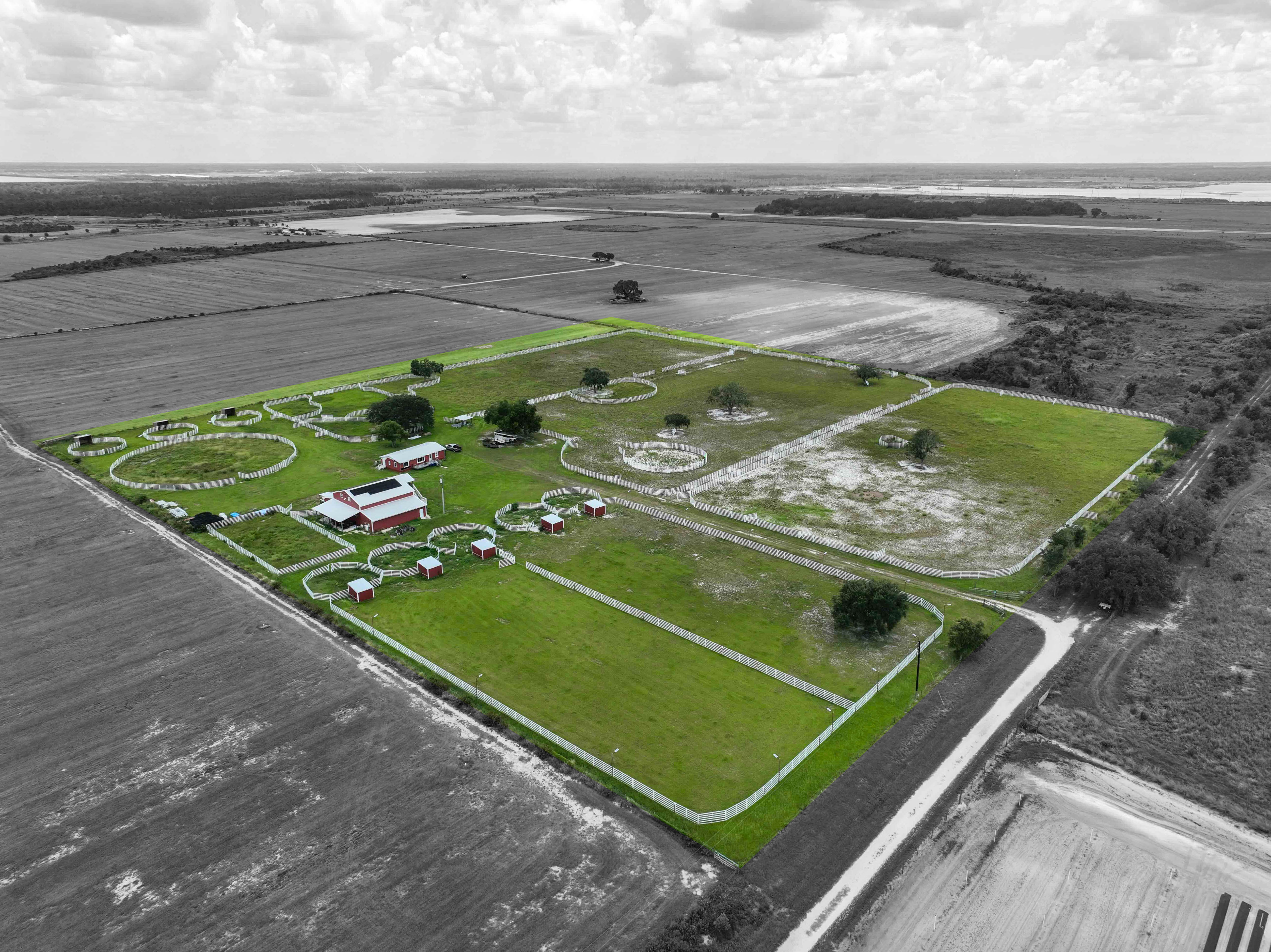
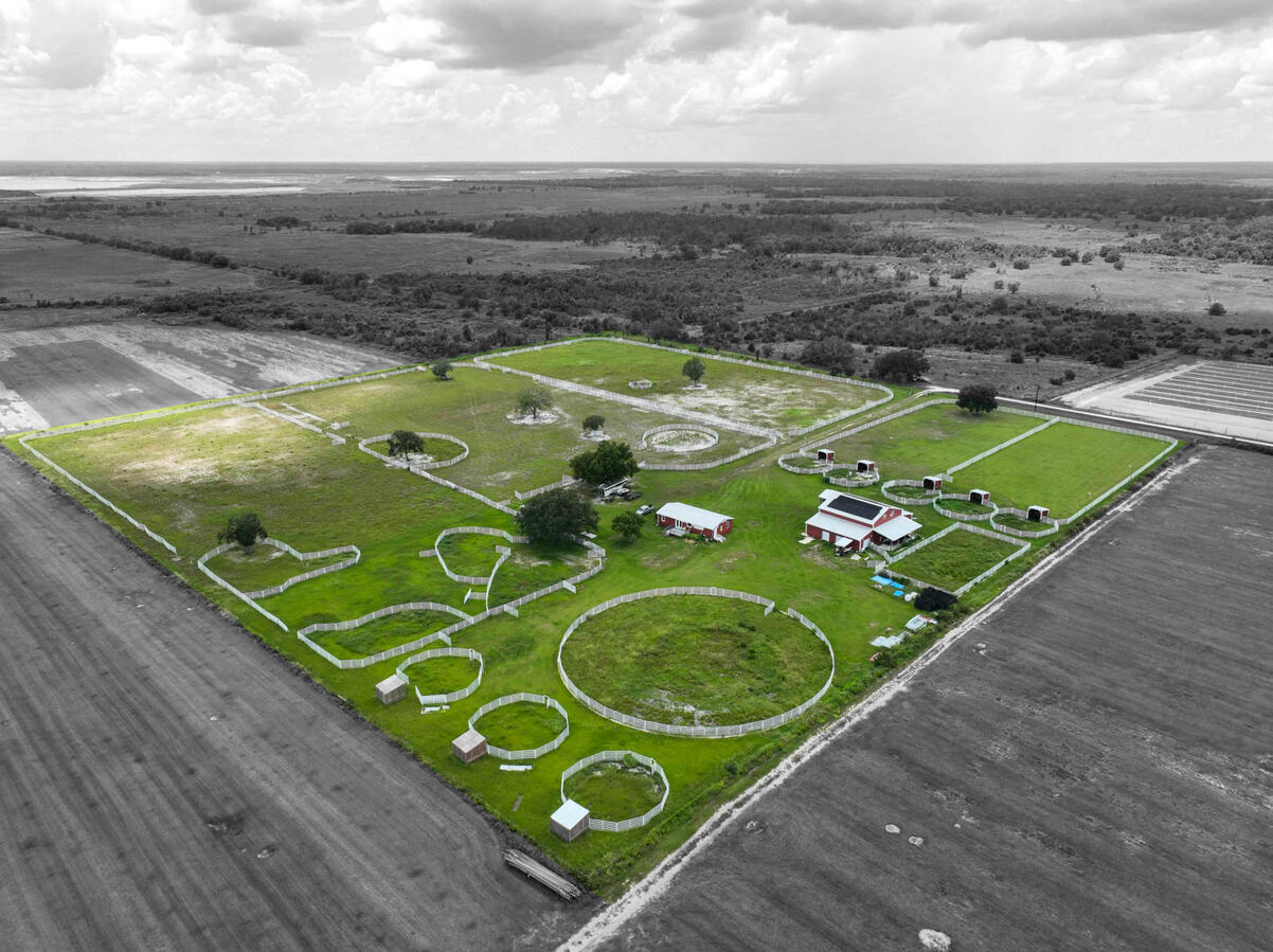
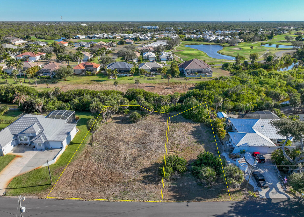
Professional vacant land aerial photography

Professional Listing Media

Everything your listing needs.

Photography, aerial imagery, immersive media and marketing tools — available individually or bundled into packages.

01

Photography

Interior and exterior property photography.

02

Aerial

FAA-certified aerial property imagery.

03

Immersive Media

3D tours and interactive floor plans.

04

Marketing

Property websites and ready-to-share marketing assets.

Residential

Residential Packages

Interior, exterior and aerial photography are included with every residential package. Add immersive media and marketing tools as needed.

Firefly residential photography package

Firefly

Essential Photography

$179

  • Interior & exterior photography
  • Aerial property images
  • MLS-ready delivery
Order
Longwing residential photography package

Longwing

Listing Ready

$199

$204

Save $5
  • Professional property photography
  • Aerial property images
  • Listing Marketing Suite
Order
Best Value Doonbug residential immersive media package

Doonbug

Immersive Media

$259

$323

Save $64
  • Interior & exterior photography
  • Aerial property images
  • Interactive 3D tour + floor plan
  • Listing Marketing Suite
Order
Most Exposure Monarch residential photography package

Monarch

Complete Exposure

$379

$438

Save $59
  • Complete professional photography
  • Aerial imagery + interactive tour
  • Expanded marketing assets
  • Maximum listing exposure
Order
Vacant Land

Vacant Land Packages

Aerial-focused coverage designed to show the parcel, surroundings, access and location clearly.

June Bug vacant land photography package

June Bug

Essential Land

$119

$150

Save $31
  • Ground-level land photography
  • 8–10 aerial still photographs
  • Professional image editing
Order
Most Popular Dragonfly vacant land package

Dragonfly

Land Advantage

$139

$175

Save $36
  • Ground-level land photography
  • 8–10 aerial still photographs
  • Listing Marketing Suite
  • Professional image editing
Order
Most Exposure Mothra vacant land package

Mothra

Maximum Exposure

$179

$260

Save $81
  • Ground-level land photography
  • 8–10 aerial still photographs
  • Listing Marketing Suite
  • Four-week exposure campaign
  • Professional image editing
Order

Listing Marketing Suite

Turn your listing photos into ready-to-use marketing.

Your finished photography can do more than fill an MLS gallery. Add the Listing Marketing Suite and receive a dedicated property website plus ready-to-share marketing content built around the listing.

orders.doonbugaerial.com/9214-Melody-Cir
Marketing Suite

One listing. A complete marketing toolkit.

The Listing Marketing Suite turns your completed photography into a polished set of marketing materials you can use across the web, social media and print.

Property Website A dedicated, mobile-friendly destination for the listing.
Social Graphics Ready-to-share listing content using photos from the shoot.
Video Content Slideshow and short-form marketing videos created from the property images.
Property Flyers Customizable listing flyers built around the property photography.
Explore Live Property Site
Included

Property Website

Photography, aerial imagery, property information and selected interactive media presented together in one shareable site.

Included

Social Media Content

Customizable graphics for listing milestones such as Just Listed, Open House and Sold.

Included

Video & Reels

Branded and unbranded property slideshows plus shorter teaser-style content for social sharing.

Included

Flyers

Professional property flyers using selected listing photos and property information.

Popular Add-On

Add an interactive Zillow 3D Home tour.

Give buyers another way to explore the property online with panoramic room views and an interactive floor plan. When selected, immersive media can also be featured within the property website.

3D Walkthrough Interactive Floor Plan Property Site Integration
View Full Zillow Tour
Interactive Zillow 3D Home Tour

Marketing Suite features may be customized for the individual listing. Zillow® is a separate service and is not affiliated with Doonbug Aerial & Photography.

Selected Work

Interiors, exteriors, aerial and land photography.

Clear, natural property imagery designed to help buyers understand the home, the land and its setting.

Client Reviews

Trusted by Southwest Florida real estate professionals.

See what clients have shared about working with Doonbug Aerial & Photography.

Ready to Get Started?

Give your next listing the presentation it deserves.

Order online or get in touch to schedule photography for your next property.

Serving Englewood, Boca Grande, Venice, Wellen Park, North Port, Port Charlotte, Rotonda West, Cape Haze, Placida, Manasota Key and surrounding communities.

Professional Aerial Photography

Drone Photography FAQs

What property owners and real estate professionals should know about professional drone photography, airspace, weather, privacy and preparing for an aerial shoot.

FAA Part 107 CertifiedAirspace CheckedRemote ID CompliantProfessional Commercial Operations
Aerial Photography

A different perspective — with professional standards behind it.

Aerial photography can show far more than the roof of a home. It helps buyers understand lot position, neighborhood context, nearby water, road access, surrounding development and other features that can be difficult to communicate from ground level.

Drone operations are also subject to federal aviation regulations, airspace restrictions, weather conditions and other safety considerations. Doonbug Aerial & Photography handles those details as part of planning the shoot.
Frequently Asked Questions

What to know before your shoot.

Is Doonbug Aerial certified to provide commercial drone photography?
Yes. Commercial real-estate photography is a non-recreational drone operation. Doonbug Aerial & Photography operates under FAA Part 107 requirements with an FAA-certified Remote Pilot in Command.
Can you fly a drone at every property?
Not necessarily. Airspace restrictions, temporary flight restrictions, weather, obstacles and other conditions can affect whether or how a property can be photographed from the air. Airspace is checked as part of planning the flight.
What if the property is near an airport?
Being near an airport does not automatically prevent drone photography. Some controlled airspace requires FAA authorization and may impose altitude restrictions. When authorization is available, we handle that process as part of flight planning.
How high does the drone fly?
FAA Part 107 operations are generally limited to 400 feet above ground level, but most real-estate photography is captured considerably lower. The objective is to create useful perspectives of the property and surroundings — not simply to fly as high as possible.
Should I tell my neighbors that a drone will be flying?
You aren't expected to notify the entire neighborhood. However, if you know your immediate neighbors, it's always appreciated if you give them a quick heads-up that a photographer will be flying a drone around the property.
A simple “Just a heads-up — we're having real-estate photos taken and the photographer will be using a drone for some aerial shots” is plenty. It can prevent unnecessary concern and lets them know why an aircraft may temporarily be visible nearby.
Are you photographing neighboring properties?
The purpose of the flight is to photograph the subject property and relevant surroundings — not neighboring residents or activity inside neighboring homes. Some surrounding property will naturally appear in wider aerial views used to establish location and neighborhood context.
What happens if the weather isn't suitable?
Rain, thunderstorms, excessive wind, poor visibility or other conditions may make aerial photography unsafe or impractical. Southwest Florida weather can change quickly, so the aerial portion of an appointment may occasionally need to be delayed or rescheduled even when ground photography can proceed.
What about trees, power lines and other obstacles?
Every property is evaluated individually. Trees, power lines, buildings, towers and other obstacles affect available flight paths. The Remote Pilot in Command determines where the aircraft can safely operate and may modify a requested shot when necessary.
Do I need to prepare anything for drone photography?
Very little. When practical, moving vehicles from the driveway and putting away trash cans, hoses and obvious outdoor clutter will improve the photographs. Please also make sure necessary gates are accessible and let us know about unusual access or community restrictions before the appointment.
Who decides whether it's safe to fly?
The FAA-certified Remote Pilot in Command has final responsibility for the safety and regulatory compliance of the flight. A flight may be modified, postponed or discontinued when conditions make the planned operation inappropriate.
Is aerial photography an additional charge?
Not for standard residential photography packages. Professional aerial property images are included with Doonbug's residential packages at no additional charge. Vacant-land packages also include aerial photography, with the number and type of images determined by the selected package.
Why use a professional commercial drone operator?
Real-estate photography is a commercial drone operation, not recreational flying. Working with a Part 107-certified operator means the flight is planned with applicable aviation, airspace and operating requirements in mind.

Ready to get started?

Give your property a different perspective.

Professional aerial photography is available throughout Doonbug's Southwest Florida service area and is included with residential photography packages.